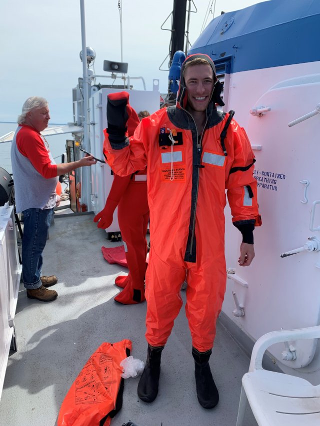
Meet EPA Geographic Information Systems Specialist Jonathon Launspach

EPA contractor Jon Launspach uses his Geographic Information Systems and data visualization skills to support ecology and toxicology projects across the Midwest, Northeast, and Great Lakes. He also supports EPA’s National Aquatic Resource Surveys across the U.S.
What research are you working on right now?
Currently, I am a working on a variety of projects including developing the website for the community engagement with the Pickle Pond restoration project in Superior Wisconsin, creating web applications to help with the National Coastal Conditions Assessment as part of the National Aquatic Resource Surveys, and developing web applications for harmful algae blooms in the Northeast.
Tell us about your background.
I received my undergraduate degrees from the University of Northern Iowa (UNI) in Geographic Information Systems (GIS), Environmental Geography and Geology. I also have a master’s degree in Geography with an emphasis in GIS from the UNI.
When did you first know you wanted to be a scientist?
I have always loved the outdoors, pondering over maps, learning how the world works, and exploring nature. I was initially drawn to physics early on but became captivated with geography after taking a few geography courses at UNI.
What do you like most about your research?
I enjoy being continuously challenged by having to learn new tools and processes. The variety of work I get to do is constantly changing as I could be working on web maps one day and programming the next. One of my biggest passions with work is helping other EPA scientists further understand their research by using GIS tools.

How does your science matter?
By using GIS and visualization tools, I can help EPA researchers understand the research they are conducting and identify what is impacting the ecological, habitat restoration, and social well-being environments. This in turn promotes guidance and decision making for projects and polices and helps improve the quality of life and environment.
If you weren’t a scientist, what would you be doing?
Likely something in the technology field as I have a l love for continuously learning and staying on top of the new gadgets and technology available.
What advice would you give a student interested in a career in science?
Explore the different areas of science as you may be surprised on what sparks your interest! If you are specifically looking into GIS, I would recommend looking for another area of interest as well. GIS is a great tool to have but it becomes even more powerful if you combine it with something else such as ecology, water resources, geology, etc.
What’s your role in the Pickle Pond research project?
I helped developed the Pickle Pond web page which is an ArcGIS Hub site. This allows us to bring in web apps, like story maps, surveys and maps to illustrate what is happing at Pickle Pond. If you are interested in learning more check out the Hub site.
What do you think the coolest scientific discovery was and why?
I’m not sure if I can pick just one but I think the most fascinating areas of discovery are the large concepts and measurements that scientists study such as stars, light years, space, and time.
What do you think is our biggest scientific challenge in the next 20/50/100 years?
Climate change will be our biggest challenge because it is going to take most of the world’s population/governments to tip the scale back in the right direction and make an impact. Along with that, building the infrastructure of renewable energy, electric vehicles, and more efficient buildings to sustain or reverse the impact we have already made on our climate. I do believe we are headed in the right direction and that is encouraging.
Editor's Note: The opinions expressed herein are those of the researcher alone. EPA does not endorse the opinions or positions expressed.
