U.S. flag

An official website of the United States government

Here’s how you know

Dot gov

Official websites use .gov
A .gov website belongs to an official government organization in the United States.

HTTPS

Secure .gov websites use HTTPS
A lock (LockA locked padlock) or https:// means you’ve safely connected to the .gov website. Share sensitive information only on official, secure websites.

    • Environmental Topics
    • Air
    • Bed Bugs
    • Cancer
    • Chemicals, Toxics, and Pesticide
    • Emergency Response
    • Environmental Information by Location
    • Health
    • Land, Waste, and Cleanup
    • Lead
    • Mold
    • Radon
    • Research
    • Science Topics
    • Water Topics
    • A-Z Topic Index
    • Laws & Regulations
    • By Business Sector
    • By Topic
    • Compliance
    • Enforcement
    • Laws and Executive Orders
    • Regulations
    • Report a Violation
    • Environmental Violations
    • Fraud, Waste or Abuse
    • About EPA
    • Our Mission and What We Do
    • Headquarters Offices
    • Regional Offices
    • Labs and Research Centers
    • Planning, Budget, and Results
    • Organization Chart
    • EPA History

Breadcrumb

  1. Home
  2. Outdoor Air Quality Data

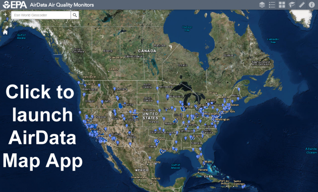
Interactive Map of Air Quality Monitors

The AirData Air Quality Monitors app is a mapping application available on the web and on mobile devices that displays monitor locations and monitor-specific information.  It also allows the querying and downloading of data daily and annual summary data.  

Map layers include:

Air Data Map App
  • Monitors for all criteria pollutants (CO, Pb, NO2, Ozone, PM10, PM2.5, and SO2)
  • PM2.5 Chemical Speciation Network monitors
  • IMPROVE (Interagency Monitoring of PROtected Visual Environments) monitors
  • NATTS (National Air Toxics Trends Stations)
  • NCORE (Multipollutant Monitoring Network)
  • PAMS (Photochemical Assessment Monitoring Stations)
  • Near road monitors
  • Nonattainment areas for all criteria pollutants
  • Tribal areas
  • Federal Class I areas (national parks and wilderness areas)

Map services are available in Google Earth, ArcGIS desktop, ArcGIS JavaScript, ArcGIS Explorer and ArcGIS.com.

Outdoor Air Quality Data

  • Frequent Questions about AirData
  • Learn about Air Data
  • Interactive Map
  • Pre-generated Data Files
  • Download Daily Data
  • Download Raw Data (API)
  • Air Quality Index Report
  • Air Quality Statistics Report
  • Monitor Values Report
  • Monitor Values Report - Hazardous Air Pollutants
  • Air Quality Index Daily Values Report
  • Daily Air Quality Tracker
  • Tile Plot - Multiyear
  • Tile Plot - Single Year
  • AQI Plot
  • Concentration Plot
  • Ozone Exceedances
  • Concentration Map
  • PM2.5 Continuous Monitor Comparability Assessments
  • PM10 Continuous Monitor Comparability Assessments
  • Single Point Precision & Bias Report
Contact Us about Outdoor Air Quality Data
Contact Us to ask a question, provide feedback, or report a problem.
Last updated on August 16, 2024
  • Assistance
  • Spanish
  • Arabic
  • Chinese (simplified)
  • Chinese (traditional)
  • French
  • Haitian Creole
  • Korean
  • Portuguese
  • Russian
  • Tagalog
  • Vietnamese
United States Environmental Protection Agency

Discover.

  • Accessibility Statement
  • Budget & Performance
  • Contracting
  • EPA www Web Snapshot
  • Grants
  • No FEAR Act Data
  • Plain Writing
  • Privacy
  • Privacy and Security Notice

Connect.

  • Data
  • Inspector General
  • Jobs
  • Newsroom
  • Regulations.gov
  • Subscribe
  • USA.gov
  • White House

Ask.

  • Contact EPA
  • EPA Disclaimers
  • Hotlines
  • FOIA Requests
  • Frequent Questions
  • Site Feedback

Follow.