
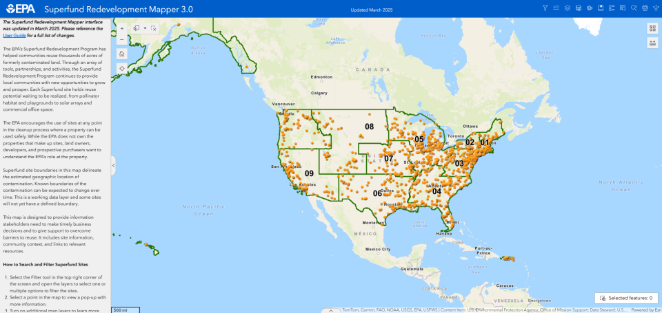
Superfund Redevelopment Mapper
To help communities affected by Superfund sites reclaim and return land to safe and beneficial use, the EPA has developed the Superfund Redevelopment Mapper. This web-based mapping tool helps stakeholders explore potential reuse opportunities. It provides users with Superfund site locations and options for adding data layers that highlight site features and site surroundings. Any existing GIS data layer can be added to the tool, allowing users to explore more information about their communities. The latest release of Mapper 3.0 provides users with all of the functionality included in the previous version of the Mapper as well as several new features, including the ability to perform spatial queries on layers in the map.
Watch a short video on how to use the tool
View the Superfund Redevelopment Mapper User Guide (pdf) (2 MB)
Explore the Superfund Redevelopment Mapper Tool
If you have questions about the Superfund Redevelopment Mapper or would like to share feedback, please contact SRPTools@epa.gov.