
Trust Mines
The United States and the Navajo Nation entered into legal agreements (the Phase 1 Settlement and the Phase 2 Settlement) that provide funds to investigate 46 mines, clean up 16 of the 46 “priority mines" and carry out two water studies.
Background
- A total of 46 mines will be assessed, and 16 will be cleaned up, as needed, under the Expanded Trust Agreement
- The 16 mines that will be cleaned up, as needed, are priority mines
- Two water studies will be conducted: one at Claim 28 mine in the Central AUM Region and one at Saytah/George Simpson 1 Incline mine in the Northern AUM Region.
Phase 2 Settlement
For more information about the Phase 2 Removal Site Evaluation (RSE) Trust work, visit the Phase 2 RSE Trust website
EPA Remedial Project Manager: Jeremy Bekis
bekis.jeremy@epa.gov
(831) 498-8934
EPA Community Involvement Coordinator: Elsa Johnson
johnson.elsa@epa.gov
(415) 947-3552
USEPA and Navajo Nation EPA are evaluating whether there are chemical or radiological hazards that may pose a threat to community members or the environment at the 46 abandoned uranium mines (AUMs) covered under the Phase 1 and Phase 2 Settlement Agreements. The Navajo Nation Abandoned Mine Lands Reclamation Program performed activities to address physical hazards at most of the AUMs on the Navajo Nation in the 1990s. Each Settlement Agreement created a Trust managed by a Trustee to perform work under the oversight of USEPA and Navajo Nation EPA. All AUMs included in the Phase 1 and 2 Settlement Agreements are AUMs for which there are no viable non-Federal potentially responsible parties (PRPs).
The Phase 1 Trustee, Sadie Hoskie, and contractors conducted investigations at 16 AUMs selected in the Phase 1 Settlement Agreement (the Phase 1 AUMs). The Phase 1 AUMs are located across all six of the Navajo AUM regions. The work required by the Phase 1 Settlement Agreement has been completed.
The Phase 2 Trustee, Derrith Watchman-Moore, and her contractors are conducting investigations at an additional 30 AUMs (the Phase 2 mines), conducting two water studies at AUMs, evaluating cleanup alternatives and carrying out cleanups for the Phase 1 AUMs, as necessary. The Phase 2 AUMs are located in the Cameron area, the Black Mesa Mining District, and the Tse Tah area. The two water studies are being carried out at AUMs located in the Black Mesa Mining District and the Tse Tah area.
The Phase 1 Trust
The Phase 1 Trustee investigated 16 AUMs identified in the Phase 1 Settlement Agreement between the U.S. and the Navajo Nation in 2015, under USEPA and Navajo Nation EPA oversight. The investigations showed the extent of the area with potential mine waste contamination. Field work completed to date for the Phase 1 AUMs includes:
- Biological and cultural resource surveys;
- Radiation surveys and soil and water sampling;
- Investigation field work at all 16 Phase 1 AUMs; and
- Investigation reports (Removal Site Evaluations) for each of the 16 Phase 1 AUMs.
Sadie Hoskie completed her work in 2018 and shared the results with the communities.
The Phase 2 Expanded Trust
The Phase 2 Trustee is undertaking the following work, under USEPA and Navajo Nation EPA oversight, under the Phase 2 Settlement Agreement entered into between the U.S. and the Navajo Nation in 2016:
- Investigating 30 Phase 2 AUMs and preparing 30 Removal Site Evaluations;
- Carrying out water studies at two AUMs;
- Preparing Engineering Evaluations and Cost Analyses (EE/CAs) for the 16 Phase 1 AUMs, as necessary; and
- Conducting removal actions at the 16 Phase 1 AUMs, as necessary.
The Phase 2 AUMs include 11 AUMs in the Western AUM region near Cameron, 13 AUMs in the Black Mesa Mining District in the Central AUM region, and six AUMs in the Northern AUM Region near Tse Tah. The water studies are being carried out at the Claim 28 AUM in the Black Mesa Mining District and Saytah/George Simpson 1 Incline AUM near Tse Tah.
Community Involvement
Community members have an opportunity to participate in the cleanup process and help shape cleanup decisions. The Phase 2 Trustee and her team of experts meet regularly, in coordination with EPA and Navajo Nation EPA, with chapter officials, residents and community members regarding the mines located in all the abandoned uranium mine region.
- North Central AUM Region Community Involvement Plan
- For more information on Community Involvement see Working with Communities.
Cleanup Progress Timeline
The 46 mines and two water studies that are included in the Trust Agreements are located across all six Navajo AUM Regions. The Navajo Nation Abandoned Mine Lands Reclamation Program performed activities to address physical hazards at most of the mine sites in the 1990s.
1990's
- The Navajo Nation Abandoned Mine Lands Reclamation Program performs reclamation activities to address physical hazards at most of the 523 mine sites.
2008
- From 2008-2012, EPA conducts initial screening of radiation levels on all mines, and prioritizes 46 mines for detailed investigations.
2015
- The Trust as part of the Phase 1 Settlement is established, including funding for investigations at 16 priority mines. Sadie Hoskie is selected as Phase 1 Trustee.
2016
- Phase 1 Trustee, Sadie Hoskie begins engaging with communities, and starts investigations at 16 priority mines.
- The Phase 2 Settlement is established and provides funds for any necessary cleanup at 16 of the priority mines, plus investigations at 30 additional mines, and two water studies at mines on Navajo Nation.
2017
- Phase 1 Trustee, Sadie Hoskie, continues to conduct investigations of mines with the Navajo Nation EPA and EPA oversight.
- Phase 2 Trustee, Derrith Watchman-Moore, is named. Ms. Watchman-Moore will conduct investigations at 30 additional mines and conduct two water studies with Navajo Nation EPA and EPA oversight.
2018

- Phase 1 Trustee, Sadie Hoskie, completes investigations at all 16 mines in the Phase 1 Settlement and shares the results with the community.
- Phase 2 Trustee, Derrith Watchman-Moore, begins investigations at 13 mines located in the Western Agency.
2019
- Phase 2 Trustee, Derrith Watchman-Moore, begins the first water study at the Claim 28 mine in the Black Mesa Mining District within the Central AUM region.
- Derrith Watchman-Moore is selected to be the Trustee for the cleanup of the 16 priority mines investigated under the Phase 1 Settlement Agreement and meets with communities in the Western AUM region and the Central AUM region.
- The Phase 2 Trustee’s team of experts complete the first phase of field work at the 13 mines in the Cameron area.
2020
The U.S. and Navajo Nation identify 17 additional AUMs for which RSEs will be conducted and the AUM at which the second water study will be conducted by the Phase 2 Trustee.
2022
The U.S. and Navajo Nation agree that the investigations at the 30 additional mines, two water studies, and cleanup of the 16 Phase 1 AUMs will be carried out by the newly created Phase 2 Expanded Trust, to be led by the Phase 2 Trustee, Derrith Watchman-Moore.
The U.S. and Navajo Nation also agree on a revised list of 30 AUMs for which RSEs will be conducted by the Phase 2 Trustee.
2023
The U.S. and Navajo Nation agree on a list of 15 Phase 1 AUMs for which it is appropriate to prepare EE/CAs. The Phase 2 Trustee’s team of experts begins work on EE/CAs for 15 Phase 1 AUMs. The Phase 2 Trustee continues to conduct field work for the water study at the Claim 28 AUM. RSE investigation work plans are in review for the 30 Phase 2 AUMs and field work is expected in 2024.
Site Photographs
Photographs abandoned uranium mine cleanup work related to Trust Mine settlement agreements.
-
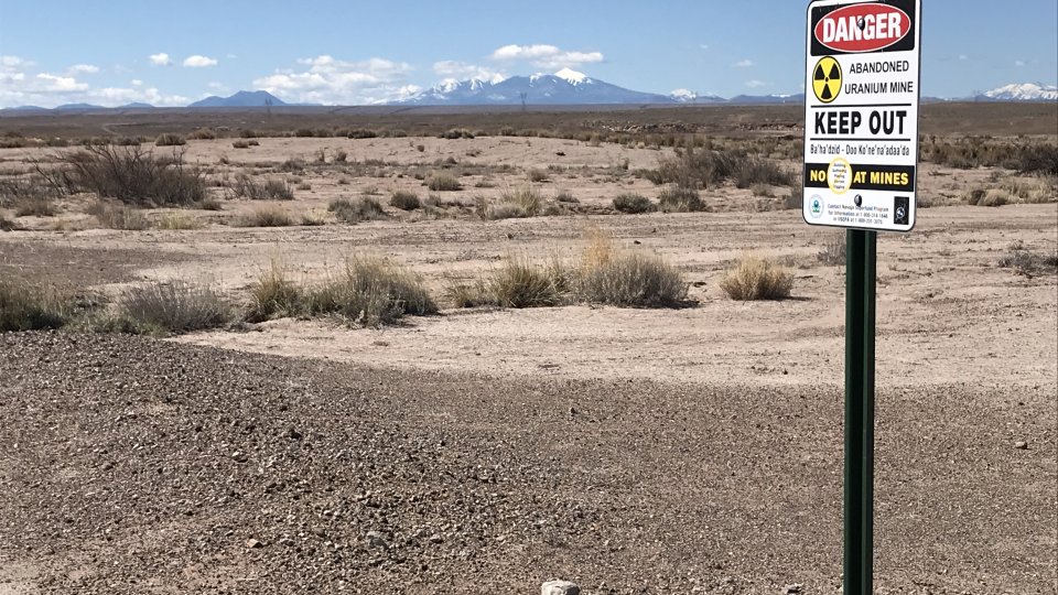
April 2019: AUM warning sign observed at north edge of Yazzie No. 312 mine site.
-
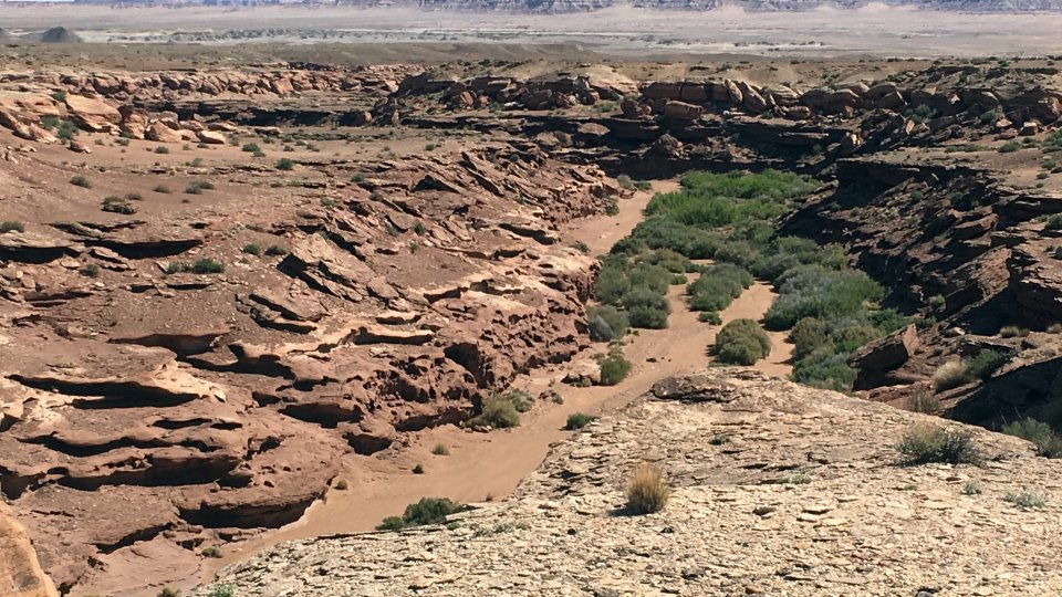
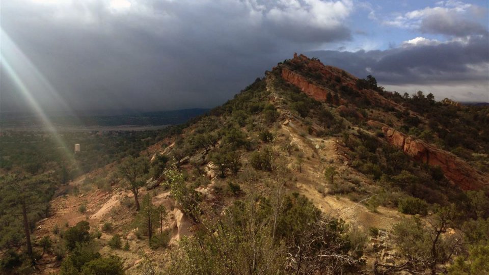
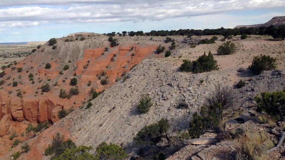
April 2019: View facing NE at mesa edge just SW of Lemuel Littleman No 2 mine site.
-
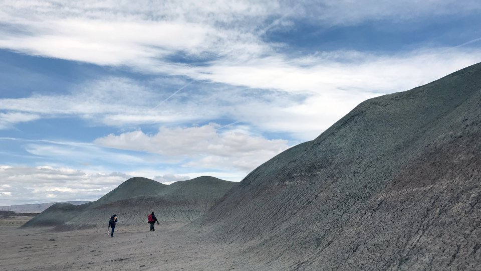
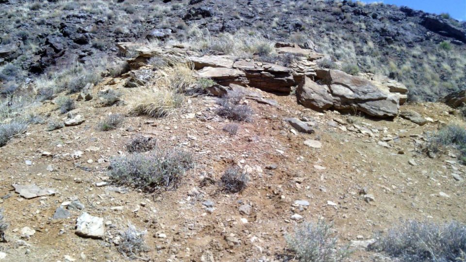
April 2019: Looking at natural formations to inspect outcroppings of sandstone deposits within Chinle Petrif.
-
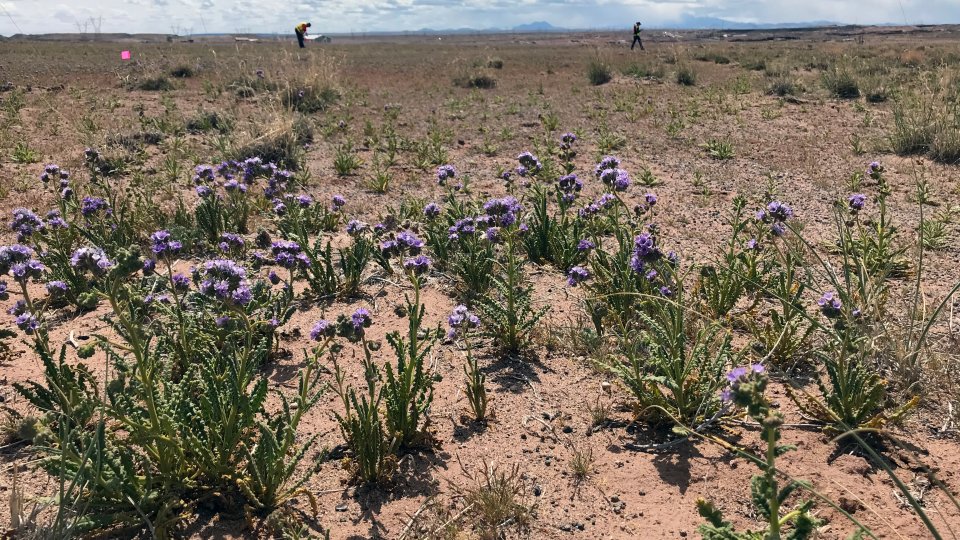
April 2019: Contracting team flags perimeters of mine sites for Jack Daniels No 14 and 5 Desert wildflowers.
-
April 2019: Contracting team assists in survey of subsidence areas on Yazzie No 312 mine site.
-
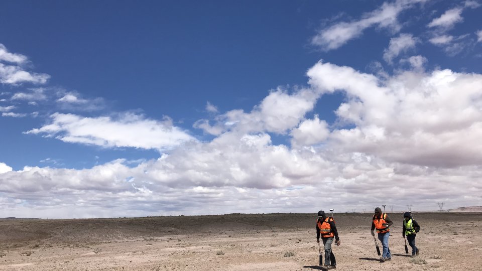
April 2019: Contracting team walking 5-foot transects while gamma scanning Yazzie No. 312 mine site.
-
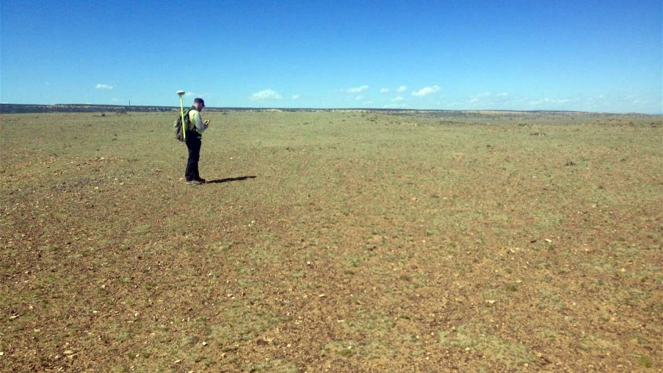
April 2019: Experts investigating Yazzie No 312 mine site in the Western AUM area.
-
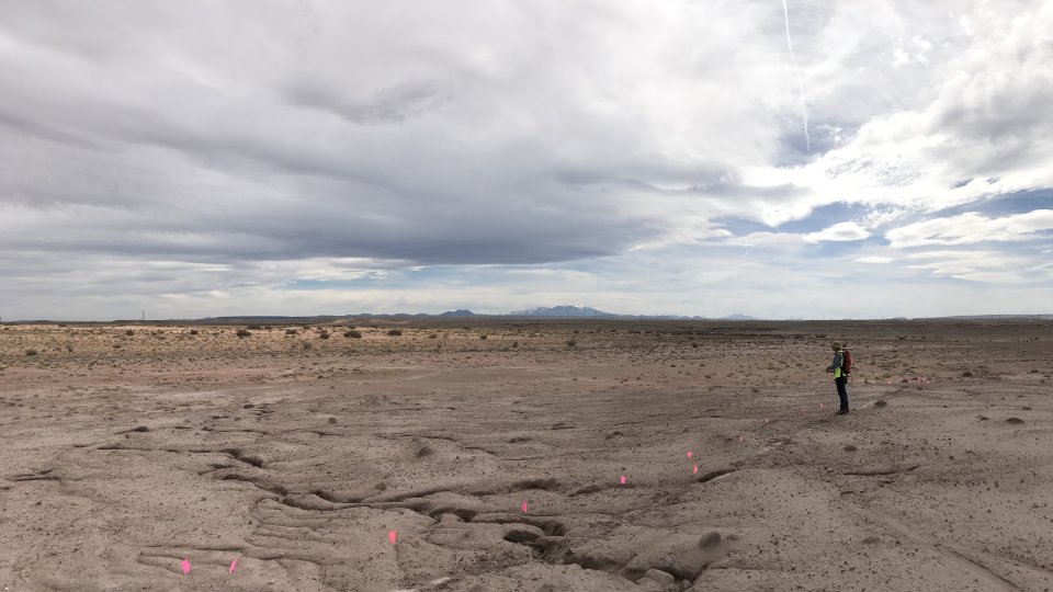
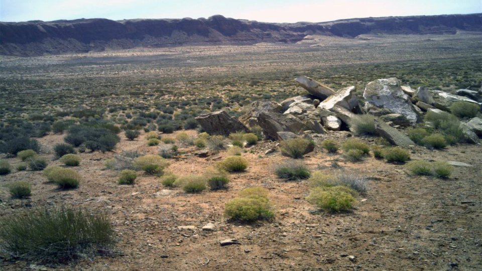
April 2019: Field survey of a background location in the Western AUM area.
-
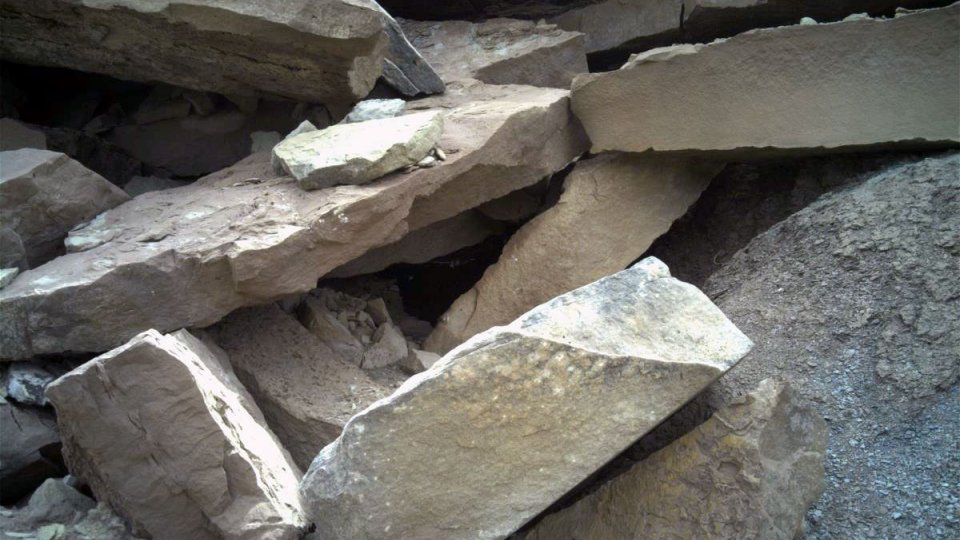
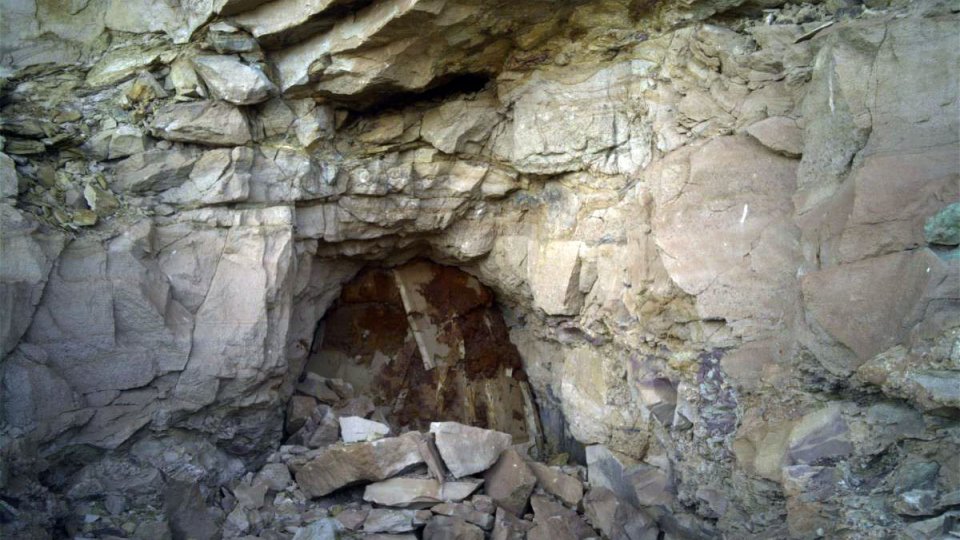
October 2016: The Navajo Abandoned Mine Lands Reclamation Program closed this portal into NA-0904.
-
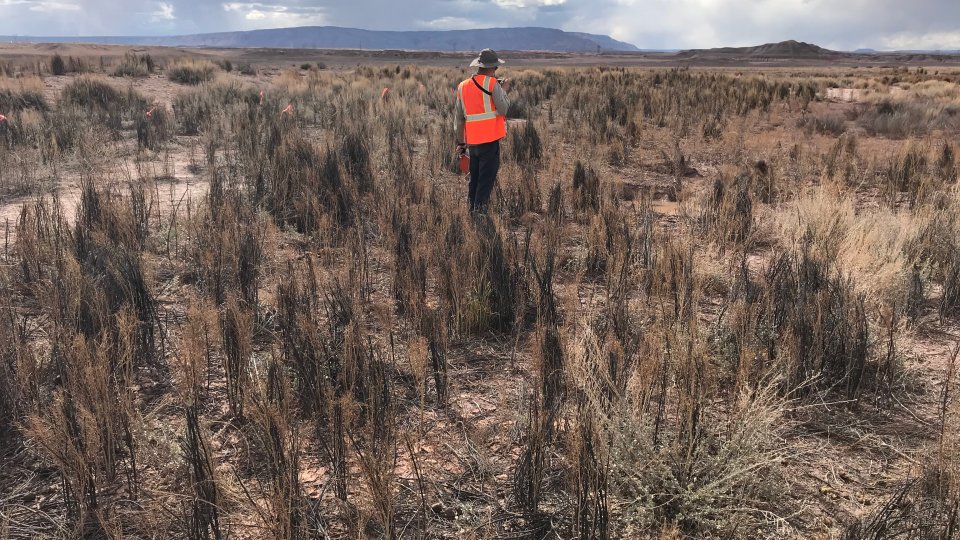
September 2016: The Phase 1 Trustee's contractor is conducting radiation scans at 16 of the priority mines.
-
October 2016: The Phase 1 Trustee's contractor is conducting an investigation at Mitten No. 3 in Oljato Chapter.
-
October 2016: The Phase 1 Trustee is conducting an investigation at Charles Keith in Oljato Chapter.
-
October 2016: The Navajo Abandoned Mine Lands Reclamation Program closed portals like the one shown here at the Charles Keith mine.
-
October 2016: The Phase 1 Trustee is conducting an investigation at Harvey Blackwater No. 3 mine in Dennehotso Chapter.
-
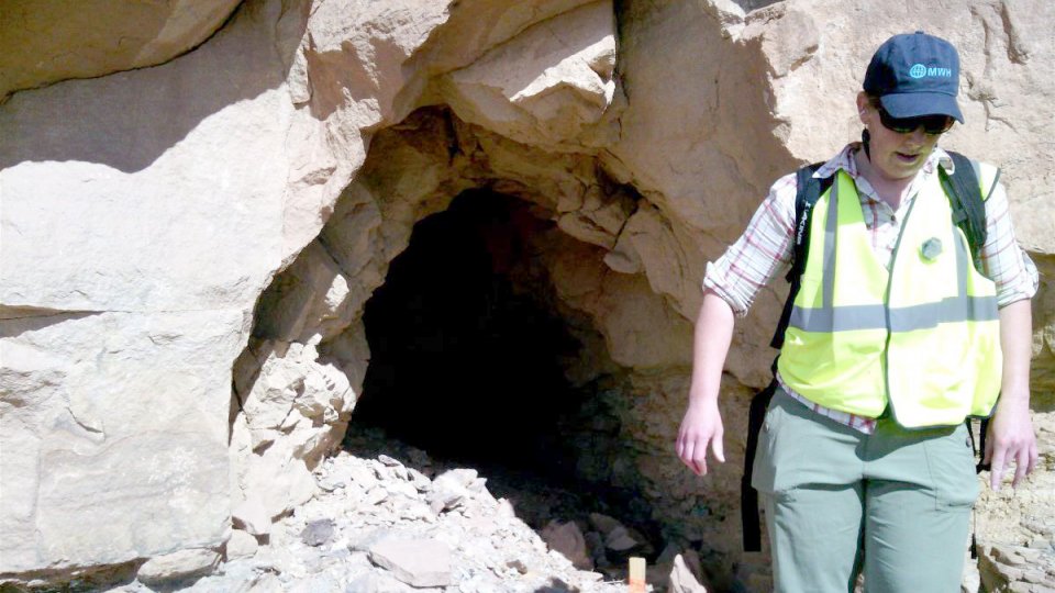
October 2016: The Phase 1 Trustee is conducting an investigation of the Eunice Becenti mine.
-

October 2016: Uranium was mined at Eunice Becenti from 1953-1959.
-
October 2016: The Phase 1 Trustee is conducting radiation scans at 16 of the priority mines.
-
October 2016: The Phase 1 Trustee is conducting radiation scans at 16 of the priority mines.
-
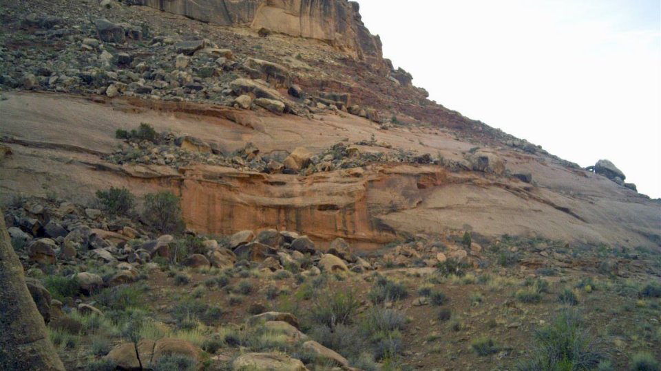
October 2016: The Hoskie Tso No. 1 mine contains this natural sandstone outcrop with elevated radiation.
-
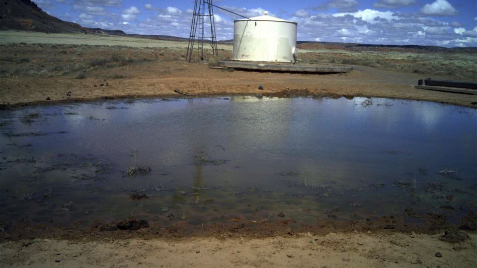
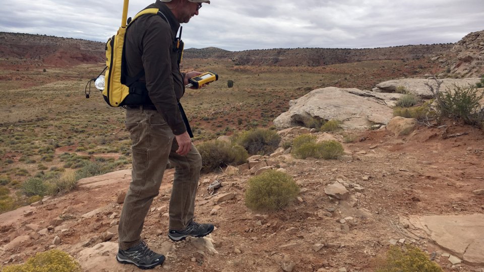
October 2016: The Trustee will sample this water source near Hoskie Tso No. 1.
-
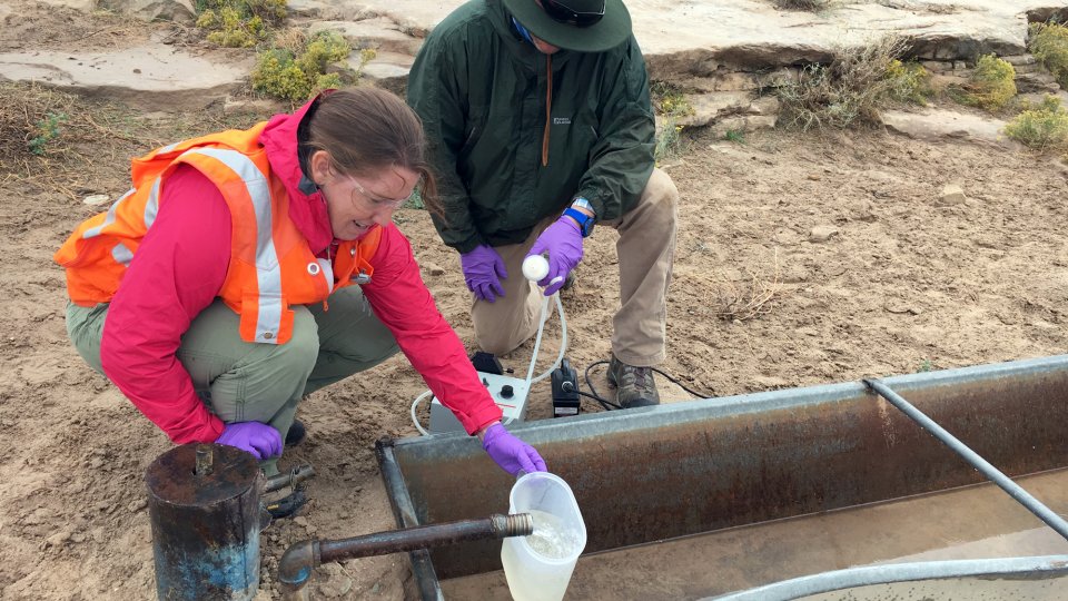
October 2016: The Trustee’s contractors are sampling water sources near the mines.
-
October 2016: Uranium was mined at Boyd Tisi No. 2 from 1957-1958. Since 2015, the Phase 1 Trustee is conducting an investigation of the mine.
-
Claim 28 is an abandoned uranium mine in the Tachee/Blue Gap Chapter where the Phase 1 Trustee conducted an investigation. Additionally, the Phase 2 Settlement provides funds to conduct a water study and cleanup the mine site.