


Site Activities
Current Site Status
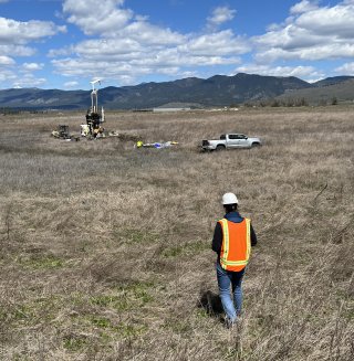
The site is currently at the end of the Remedial Investigation (RI) phase of the Superfund process. During this phase, EPA and DEQ project teams oversee potentially responsible parties, who are collecting extensive site sampling data. EPA and DEQ use the data to understand the nature (what is it) and extent (where it is) of contamination on site and identify if and how site-related contaminants move. This phase also includes the development of human health and ecological risk assessments, which EPA completed in 2020-2021. After risk assessments are complete, the process generally moves on to the completion of the Remedial Investigation Report. In 2023, Missoula County requested additional characterization sampling to address concerns about site characterization and seasonal groundwater movement. These sampling events occurred in 2024. In July and August 2025, EPA and DEQ received all final data from these events. These data have been evaluated and shared with stakeholders at the site.
The site team is now directing the completion of the Remedial Investigation report. The RI report will include all data collected on site, including recent additional sampling efforts. EPA will update risk assessments with information from the additional sampling events. Concurrently with RI report completion, the site team will begin directing the next phase of the Superfund process--the Feasibility Study--during which options for cleanup are identified and evaluated.
Recent items of focus include:
- Additional site characterization per stakeholder request
- Study of movement of contaminants through groundwater
- Waste and soil characterization
- Remedial Investigation Report completion
- Human Health and Baseline Ecological Risk Assessment Updates
- Feasibility Study Work Plan development
What has been done to clean up the site
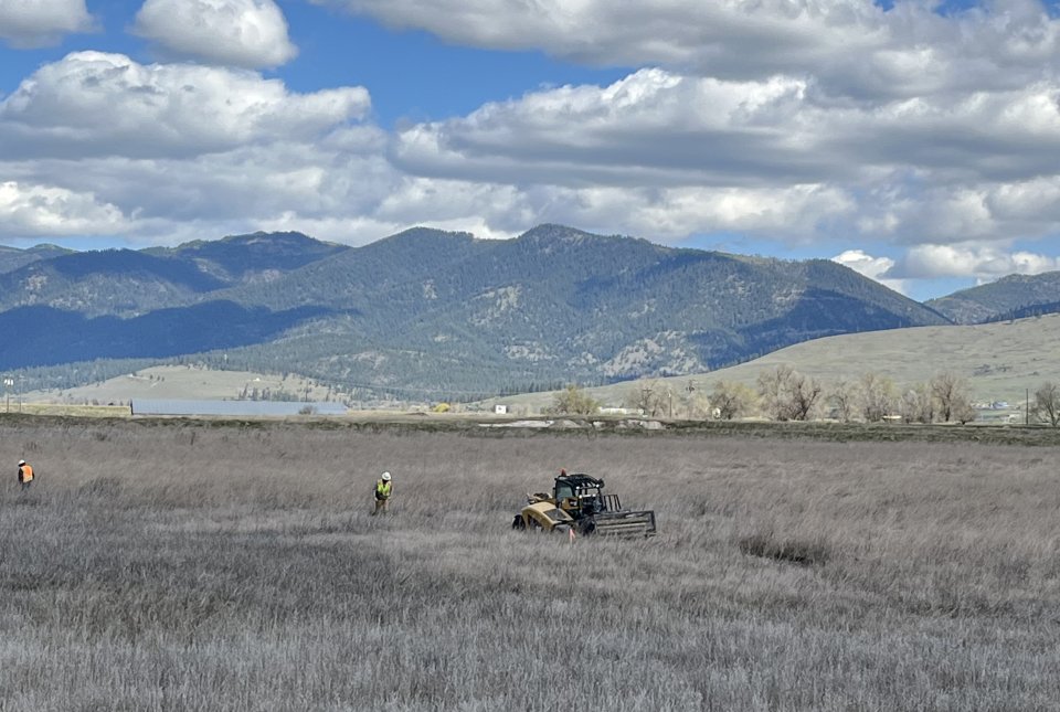
The site is divided into three management areas known as Operable Units (OUs).
- OU1 covers approximately 1,200 acres of the site that are largely agricultural lands. No unacceptable risk to human or ecological health was identified during the Remedial Investigation for this operable unit.
- OU2 is approximately 255 acres and covers the former core industrial footprint of the mill.
- OU3 includes approximately 1,700 acres, covering the area of the former settling and wastewater treatment ponds and parts of the Clark Fork River floodplain.
- Site cleanup activities will take place once EPA finalizes a Record of Decision (ROD) for the site. Currently, the site is in at the end of the Remedial Investigation phase of the Superfund process. During the next phase, the Feasibility Study, EPA will use extensive site data to work with the potentially responsible parties and other stakeholders to identify potential cleanup options that will address human and ecological risk. These cleanup options, along with EPA’s preferred option, will be presented to the public in a document called a Proposed Plan. After a formal public comment period, the Proposed Plan will be finalized into a Record of Decision.
Site Investigations Timeline
2022-2025 2019-2021 2016-2018 2010-20215
2022-2025
- 2024: Amendment to Addendum 11 for Fall 2023 groundwater monitoring
- 2024: Appendix A to Addendum 12: Quarter 2, 2024 groundwater and soil investigation
- 2024: Appendix B of Addendum 12: Quarter 3, 2024 groundwater and soil investigation
- 2024: Appendix C of Addendum 12: Quarter 4, 2024 groundwater monitoring and Clark Fork River sediment and surface water sampling
- 2024: Addendum 13: Additional soil sampling to support additional Source Area Investigation
- 2025: Addendum 14: Groundwater Metal Mobility
2019-2021
- 2019: Addendum 8: Site-wide groundwater monitoring-June 2019.
- 2019: HHRA/BERA second collection of game fish (northern pike and rainbow trout) with assistance of Montana Fish, Wildlife and Parks as part of the OU2 and OU3 HHRA and BERA to determine presence or absences of contamination contribution from the site.
- 2019: Addendum 8: Site-wide groundwater monitoring – September/October 2019
- 2020: Addendum 10: Site-wide groundwater monitoring - May 2020
- 2020: Groundwater Conceptual Site Model - June 2020
- 2021: Addendum 11: Site-wide groundwater monitoring - September 2021
- 2021: OU2 and OU3 Final Baseline Ecological Risk Assessment - October 2021
- 2021: OU2 Final Human Health Risk Assessment - December 2021
- 2022: OU3 Final Human Health Risk Assessment - April 2022
- 2021-2023: Addendum 11: Groundwater monitoring-June and September
2016-2018
- 2017: Addendum 1: Groundwater sampling of seasonally high groundwater.
- 2016: Addendum 2: Soil sampling of potential PCB-impacted soils.
- 2017: Addendum 3: Installation and sampling of three deep groundwater wells.
- 2017: Addendum 4: Site-wide groundwater monitoring plan for 2017.
- 2017: Addendum 5: Work plan to remove PCB-impacted soils.
- 2018: Addendum 6: Investigation of the Clark Fork Berm, including a Geotechnical Evaluation, an overall Berm Assessment and a Berm Overtopping Study.
- 2017: Addendum 7: Sampling of site surface soils to supplement EPA’s Human Health Risk Assessment.
- 2017: EPA completed Human Health Risk Assessment (HHRA) and Baseline Ecological Risk Assessments for OU1.
- 2018: Addendum 8: Site-wide groundwater monitoring plan for 2018-2019.
- 2018: Addendum 8: Site-wide groundwater monitoring-June 2018.
- 2018: Addendum 9: Baseline Ecological Risk Assessment (BERA) for OU2 and OU3 included sampling of soil, water, surface water, and biota on-site (macro-invertebrates, small fish in the CFR, and mice).
- 2018: EPA, with assistance of Montana Fish, Wildlife and Parks, collected game fish (northern pike and rainbow trout) from the Clark Fork River as part of the OU2 and OU3 HHRA and BERA to determine presence or absences of contamination contribution from the site.
- 2018: Addendum 8: Site-wide groundwater monitoring-December 2018.
2010-2015
- 2010: Smurfit-Stone declares bankruptcy and permanently shuts down facility.
- 2011: EPA conducted a Preliminary Assessment/Site Investigation (PA/SI) which identified potential contamination sources.
- 2014: Newfields, a technical consultant for the potentially responsible parties (PRPs), performed an extensive site Investigation consisting of groundwater well installation and sampled groundwater, surface water, surface soil and sub-surface soils for contamination.
- 2015: EPA entered into an Administrative Order on Consent (AOC) with the PRPs to conduct a Remedial Investigation (RI).
- 2015: EPA directed and provided oversight for the first sampling event as part of the Remedial Action Work Plan (RIWP).
- To date a total of nine addenda to the RIWP have been drafted, approved and implemented in order to collect data, aid in risk assessments and perform cleanup actions.